HAS Grad Student Yike Xu Publishes in Journal of Geophysical Research Atmospheres: New Insights and Better Detection of Boundary and Mixed Layers Using Lidar

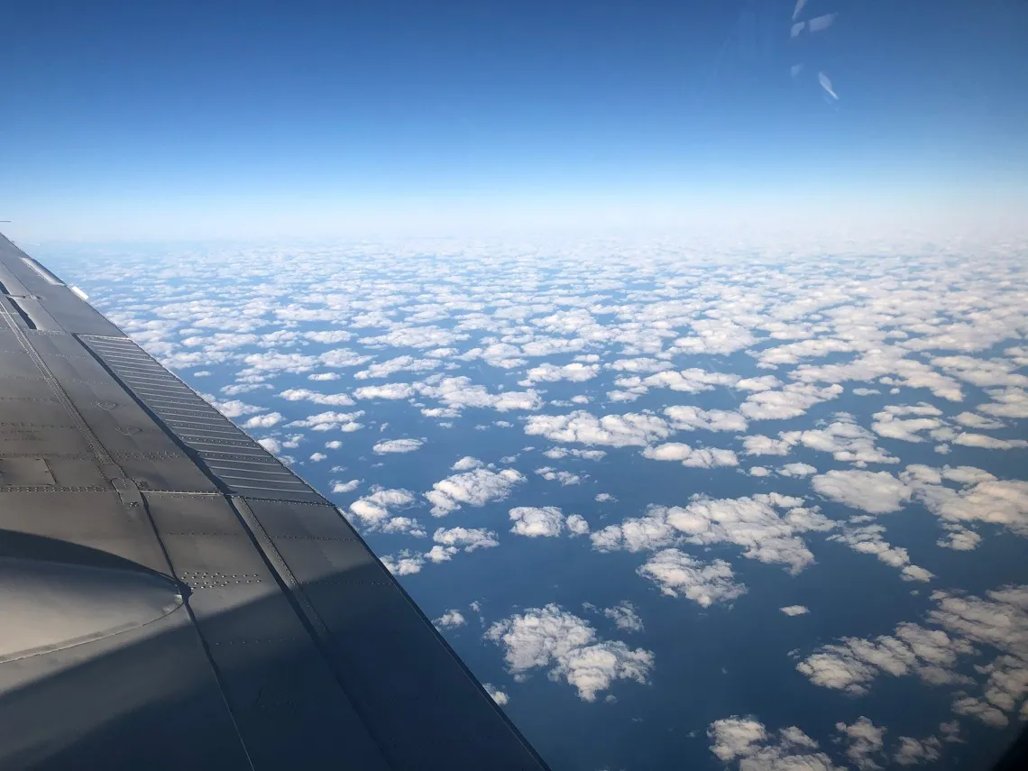
View of the clouds from the Falcon aircraft carrying lidar instruments
Image: Armin Sorooshian
Congratulations and best wishes to HAS graduate student Yike Xu, first author, for her recently published article, Boundary Layer Structures Over the North Atlantic Derived from Airborne High Spectral Resolution Lidar and Dropsonde Measurements During the ACTIVATE Campaign, in the Journal of Geophysical Research Atmospheres.
Xu's research has been supervised by co-authors Armin Sorooshian, HAS Joint Professor, and Xubin Zeng, HAS Professor. You can read the full article written by Mikayla Mace Kelley on the UA News website.
Earth's atmosphere might be out of sight, out of mind, but it is actually a dynamic place with layers of distinct characteristics that are constantly vying for real estate in the sky. And while the atmosphere's layers can't be seen with the naked eye, scientists have the incentive to determine where they lie.
For example, knowing the height of what's called the planetary boundary layer – the layer of the atmosphere that interacts directly with the planet's surface – compared to the mixing layer, which contains thoroughly mixed air that steadily cools with increased elevation, can help meteorologists predict air quality.
The planetary boundary layer and mixed layer usually have nearly the same height. When they do, lidar laser technology can be used to effectively detect their height. Lidar uses pulsed lasers to measure light scattering and absorption by aerosol particles in the atmosphere.
But sometimes, atmospheric conditions arise in which the mixed layer is significantly lower than the planetary boundary layer, a phenomenon called decoupling. Lidar has not been used to retrieve the height of both layers under these conditions. This is something scientists would like to be able to do because, for example, the more shallow the mixing layer is, the more concentrated pollution will be over a region.
A team of University of Arizona-led researchers has devised a technique that combines new scientific insights with the revision of an existing computer algorithm to better detect different layers of the atmosphere using lidar, enabling scientists to explore the still mostly uncharted atmospheric world and enhancing the value of lidar measurements.

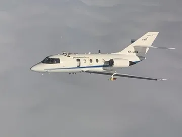
Falcon aircraft carrying lidar instrumentation, NASA Langley Research Center
Image Credit: Kevin Shelton/Nasa Langley Research Center
Lidar from aircraft or satellite can measure atmospheric inversion height under clear-sky conditions or cloud tops at the top of the planetary boundary layer, but that's where lidar capabilities have ended, until now.
The revised algorithm and new insights applied to lidar data uses holes in the clouds or clear areas between clouds reveal both the lower inversion layer height (indicated by cloud bottoms) and the higher inversion layer height (indicated by cloud tops). Importantly, the lower inversion layer also demarcates the upper limit of the mixing layer.
The team assessed the accuracy of its work against data collected by a weather balloon dropped from an aircraft. As the balloon fell, it captured information on temperature, humidity and winds. Although the study was conducted over the Atlantic Ocean, the method can be applied globally.
The results were made possible by a $30 million NASA award to a UArizona-led project in 2018. The project team led by Armin Sorooshian, HAS Joint Professor and Professor in the Department of Chemical and Environmental Engineering, collected data on aerosols, clouds and meteorology and synthesized their interactions over the northwestern Atlantic Ocean using lidar and other instruments flown on airplanes. The funding comes from NASA's Earth Venture Class program, which funds projects investigating important, but not-well-understood aspects of Earth system processes.
Congratulations to Yike Xu, Armin Sorooshian, and Xubin Zeng for this new publication!

